Peak District Trig Points Challenge

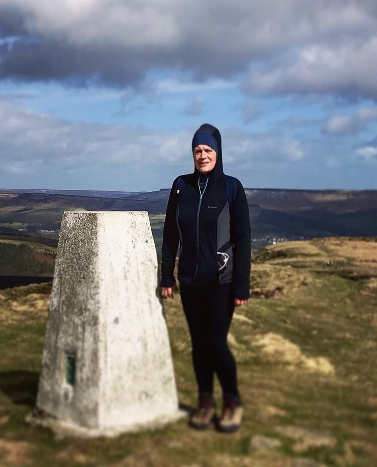
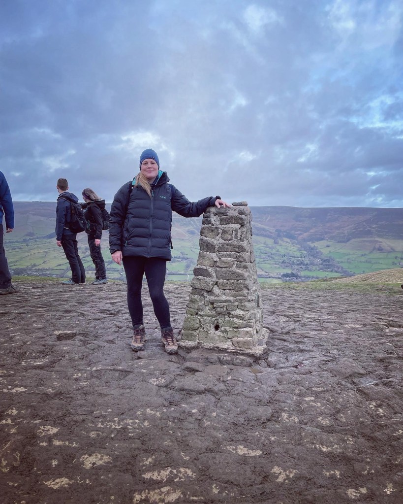
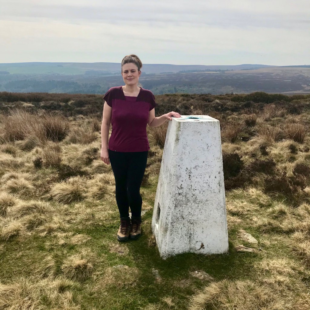
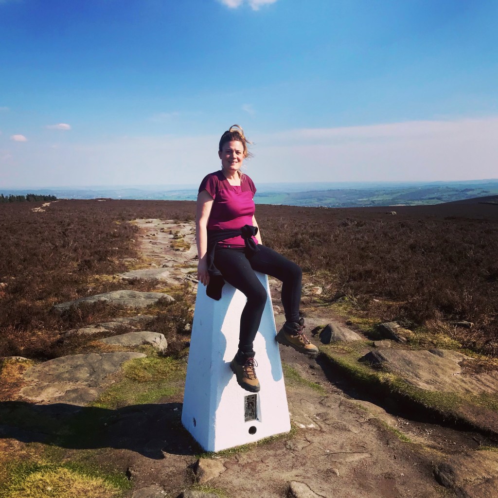
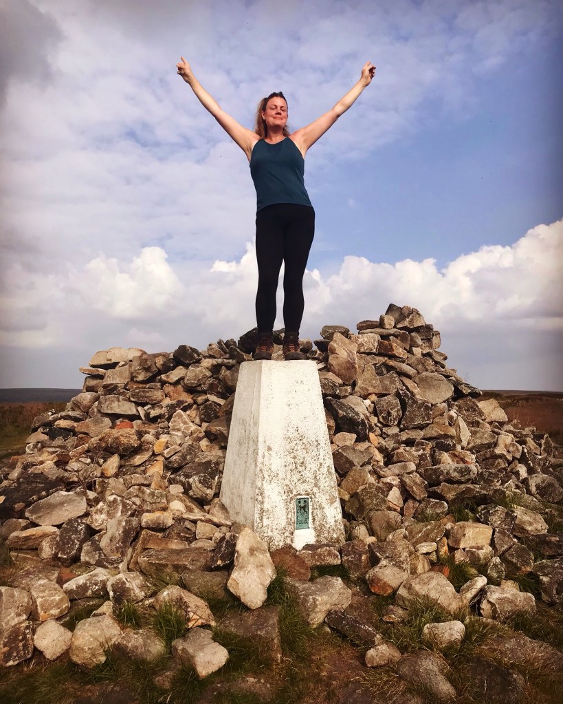
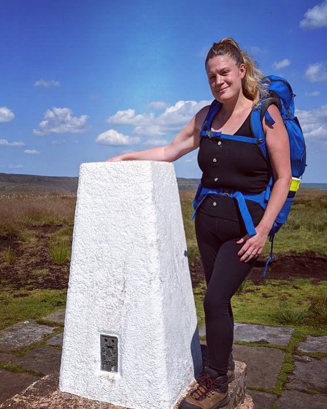
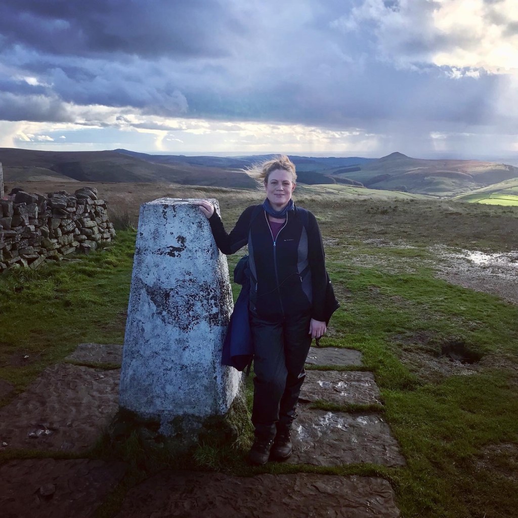
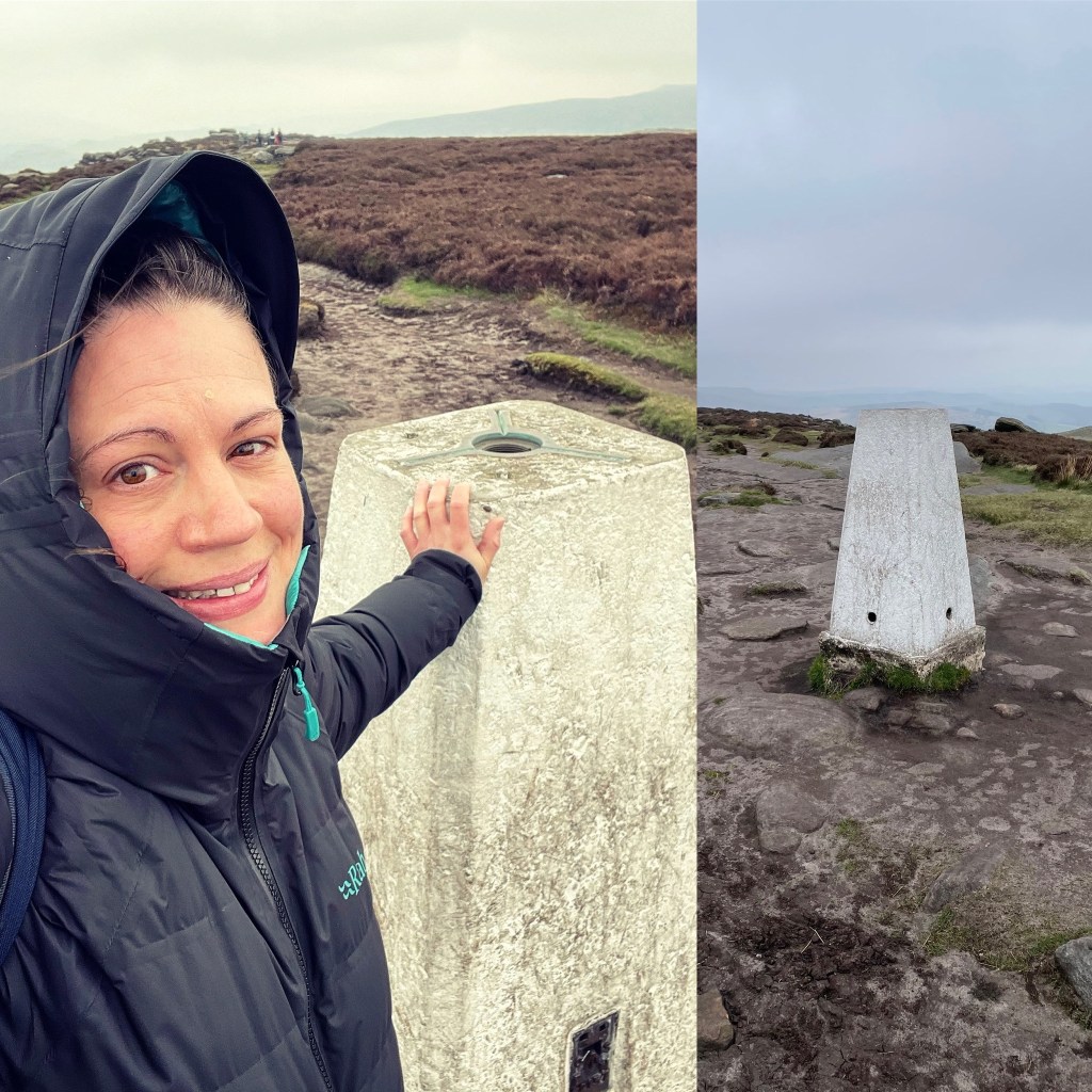
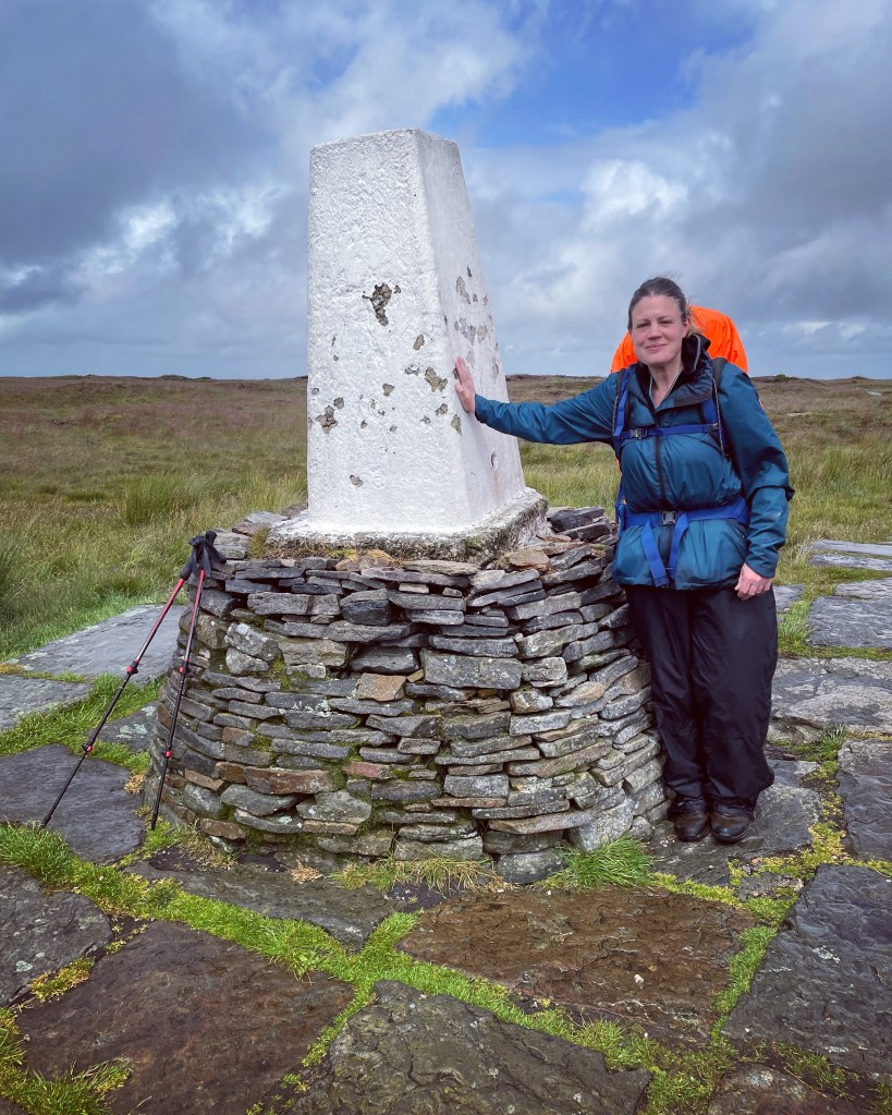
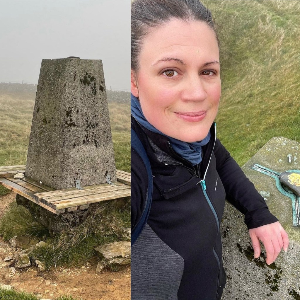
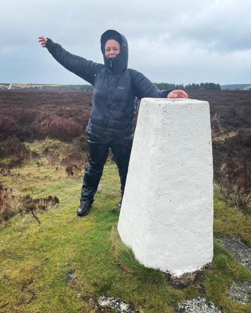
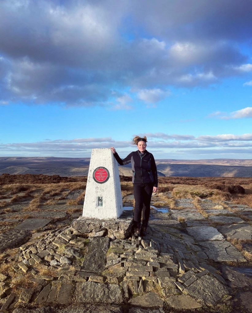
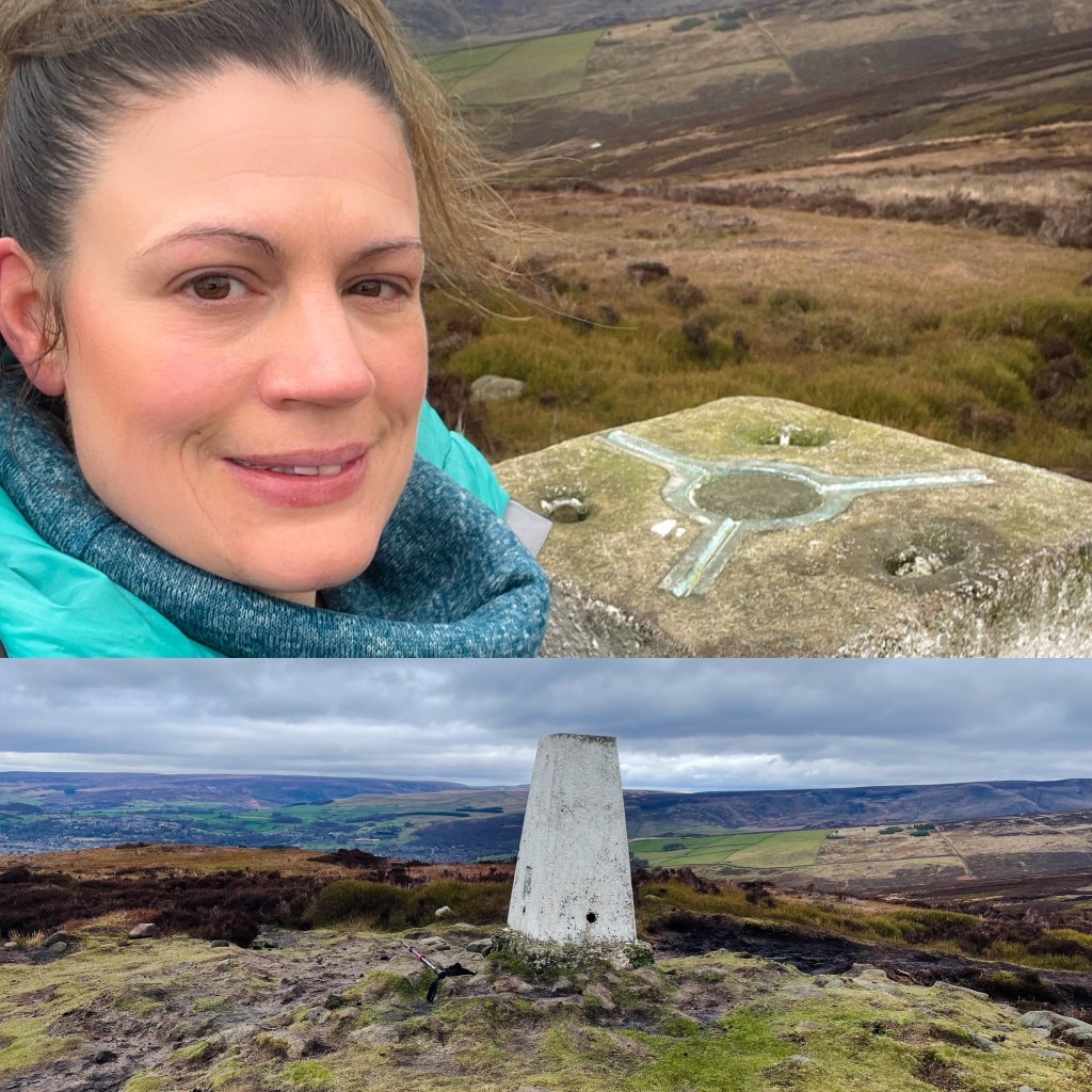
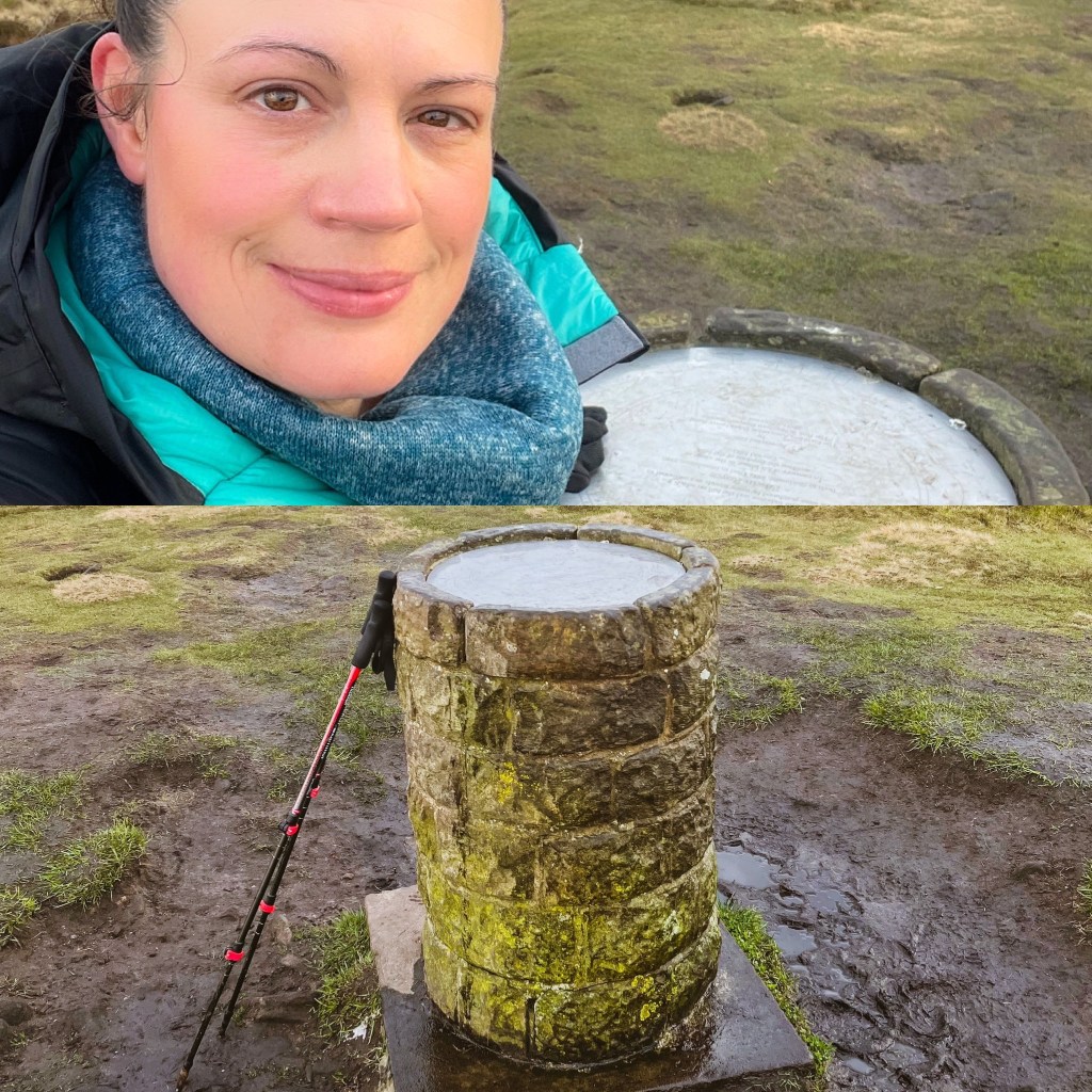
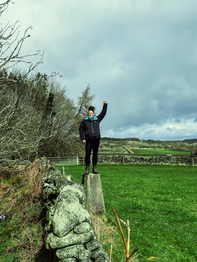
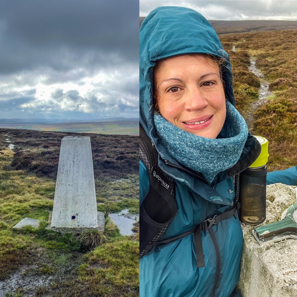
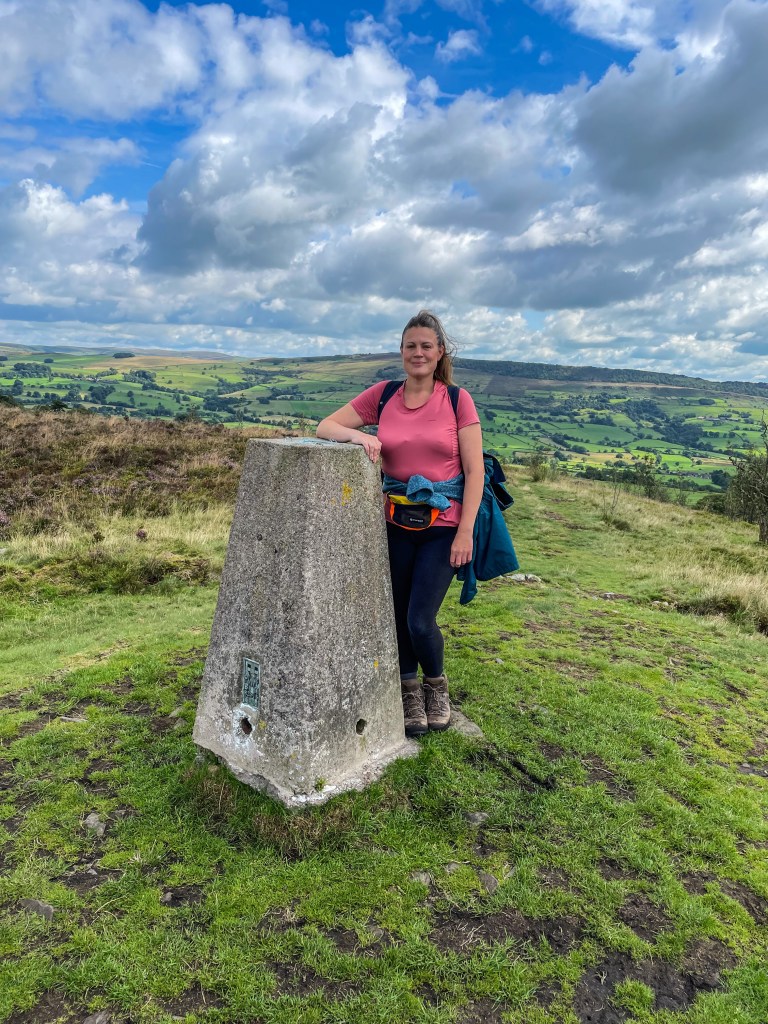
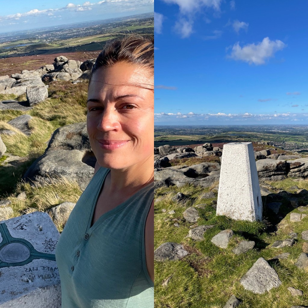
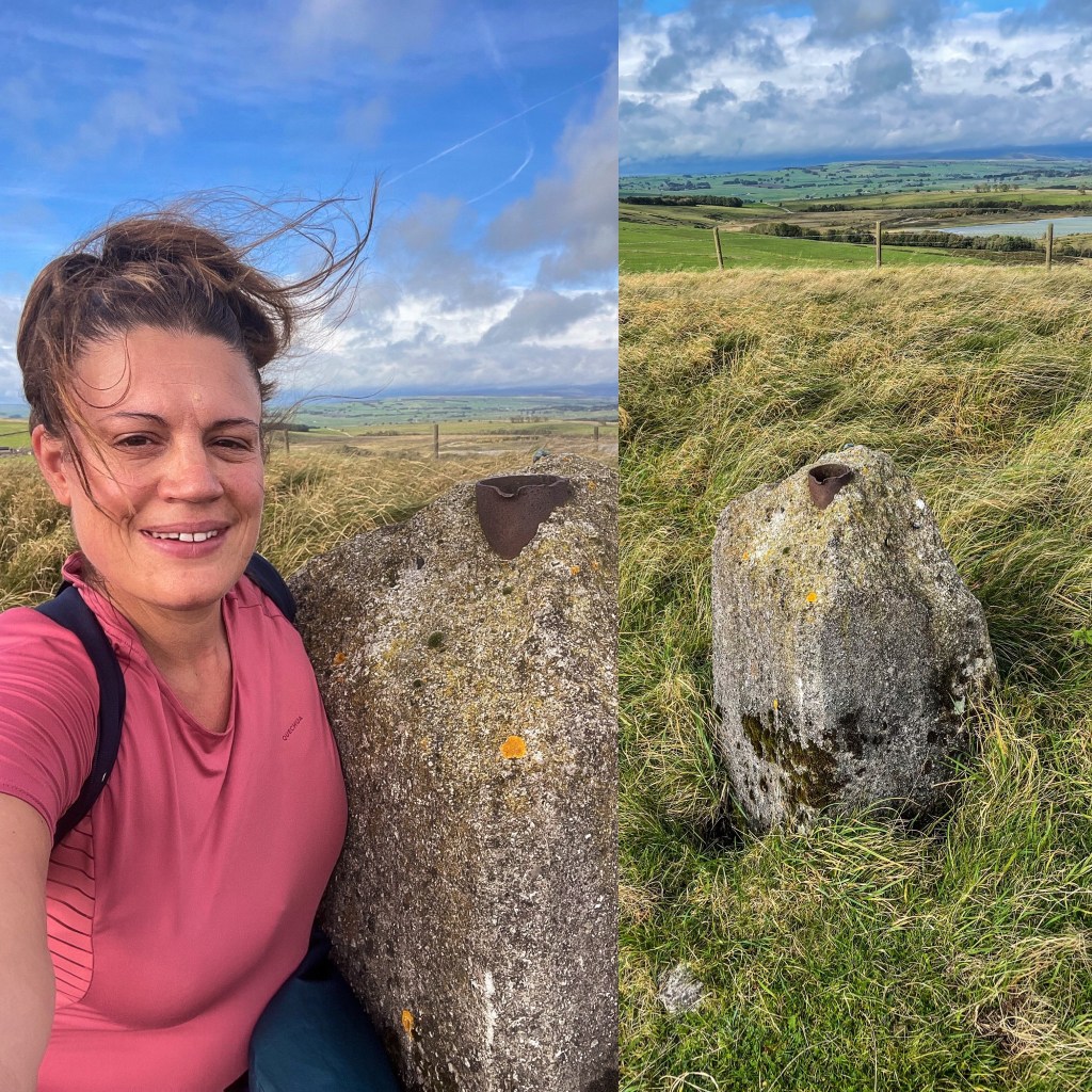
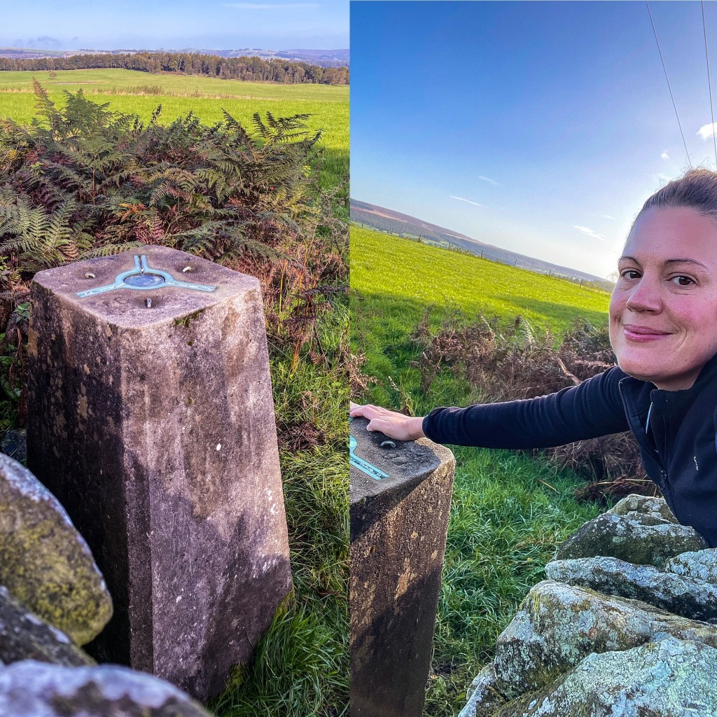
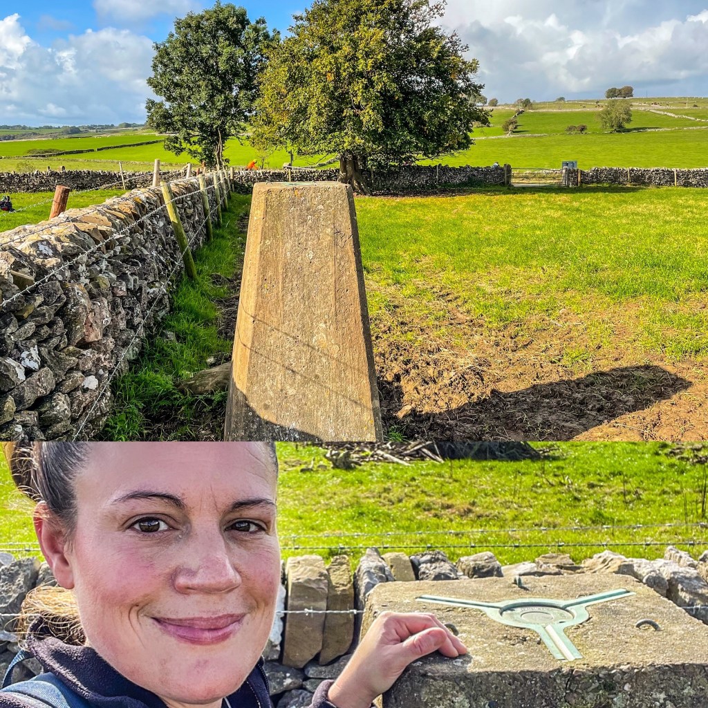
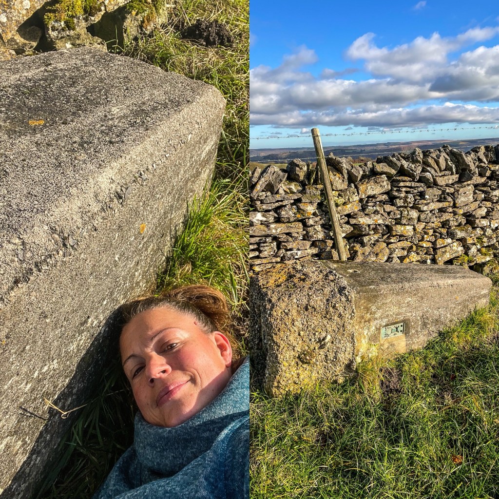
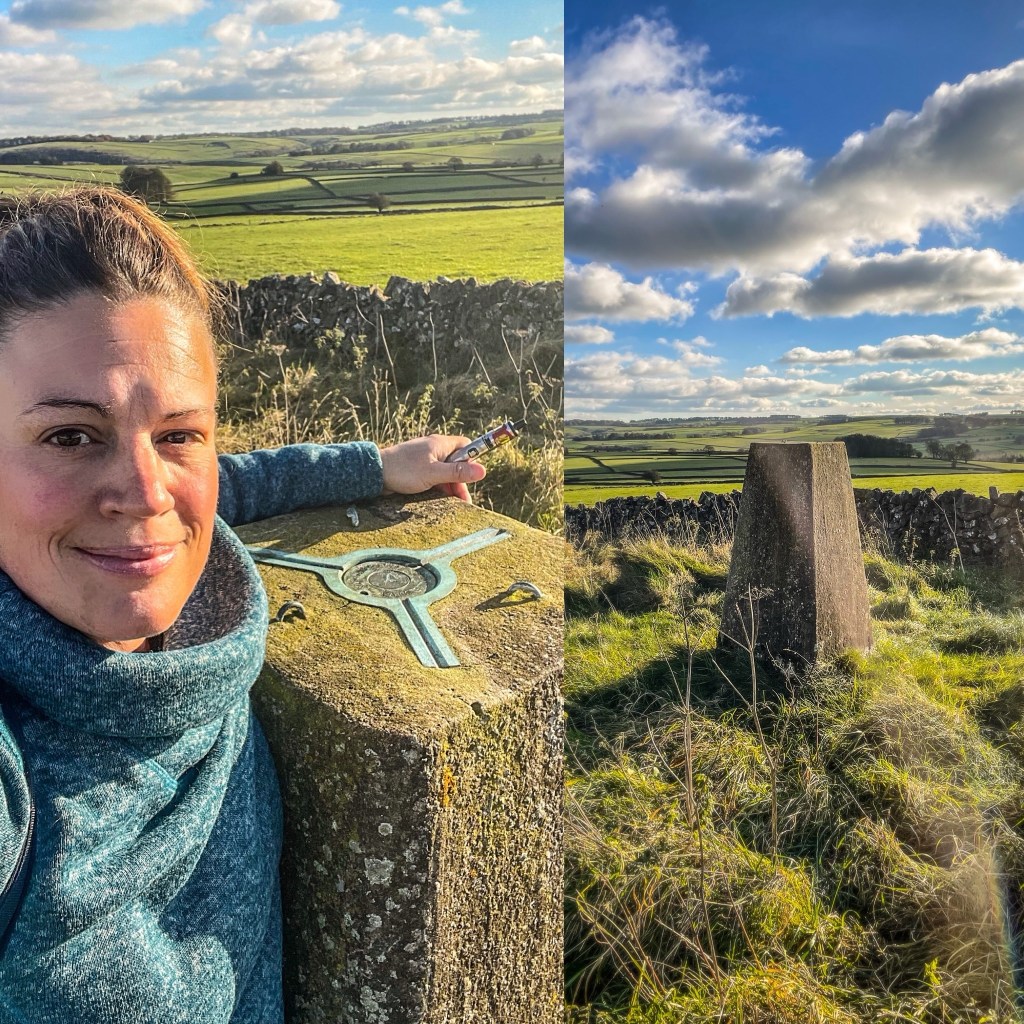
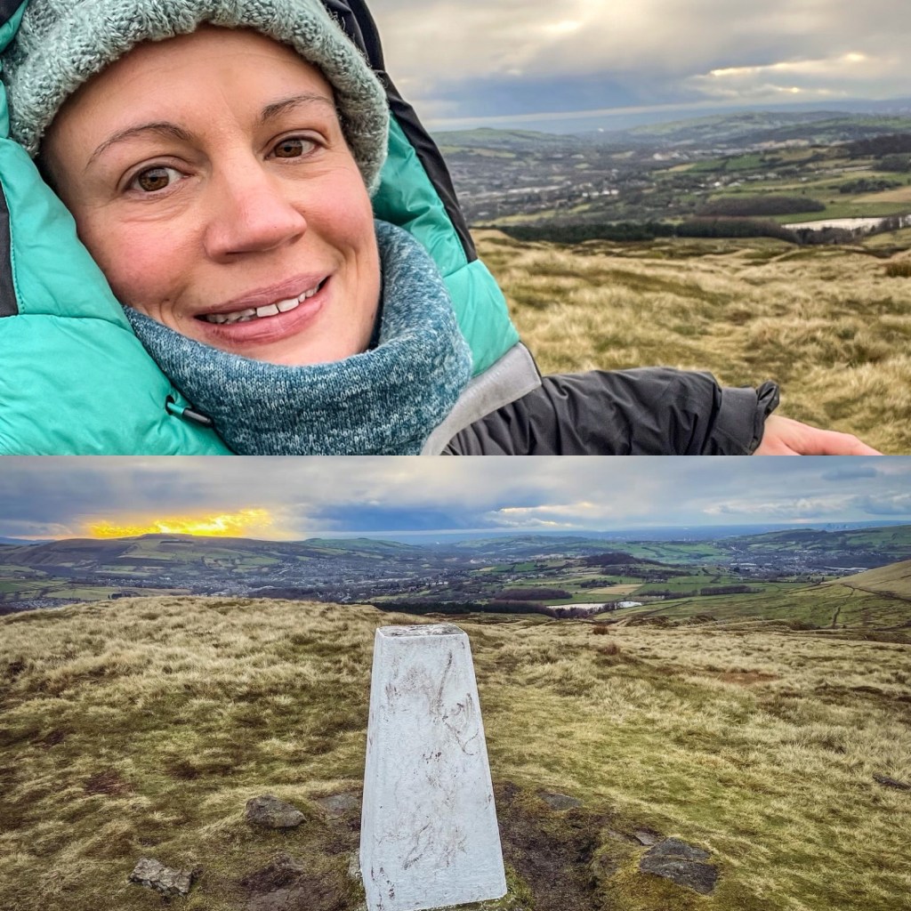
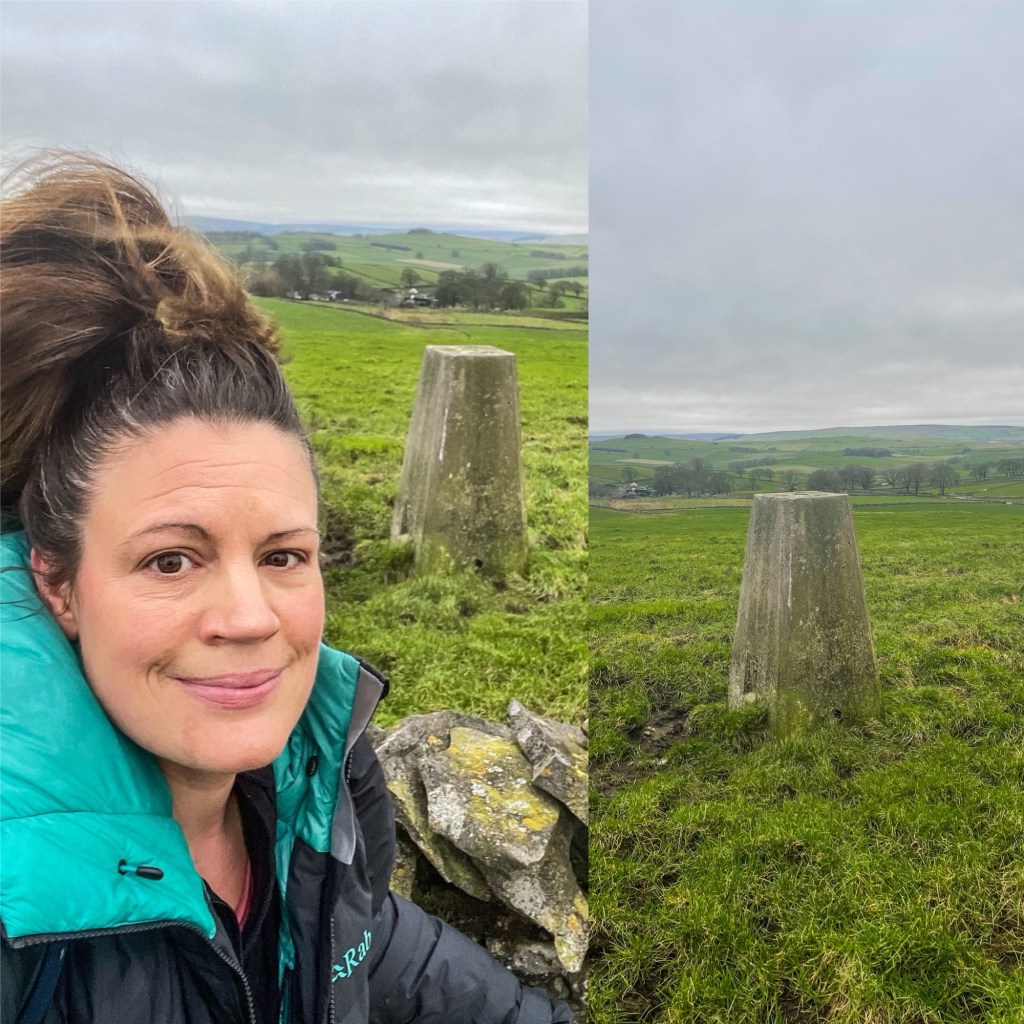
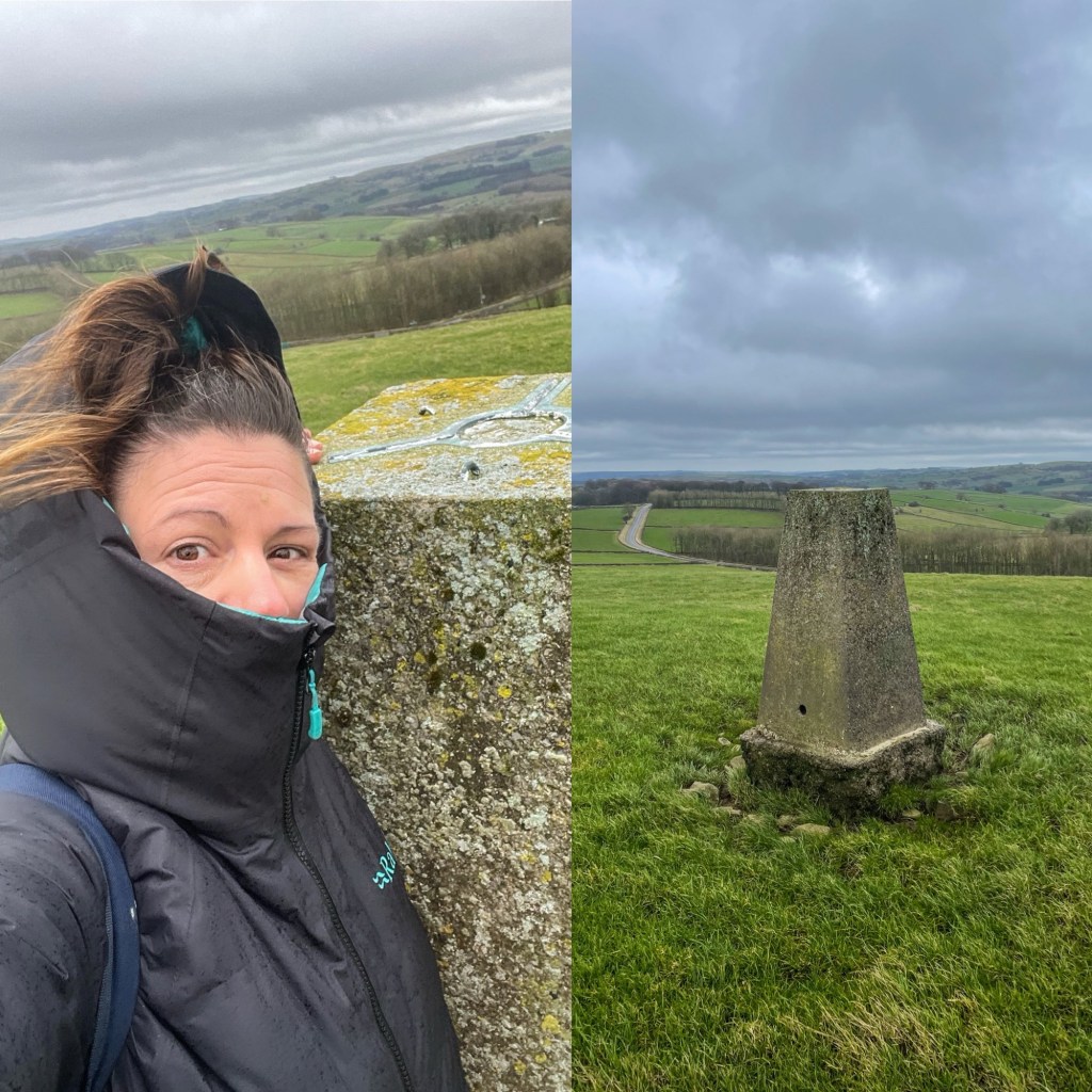
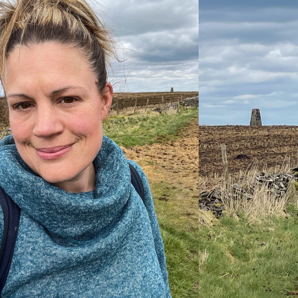
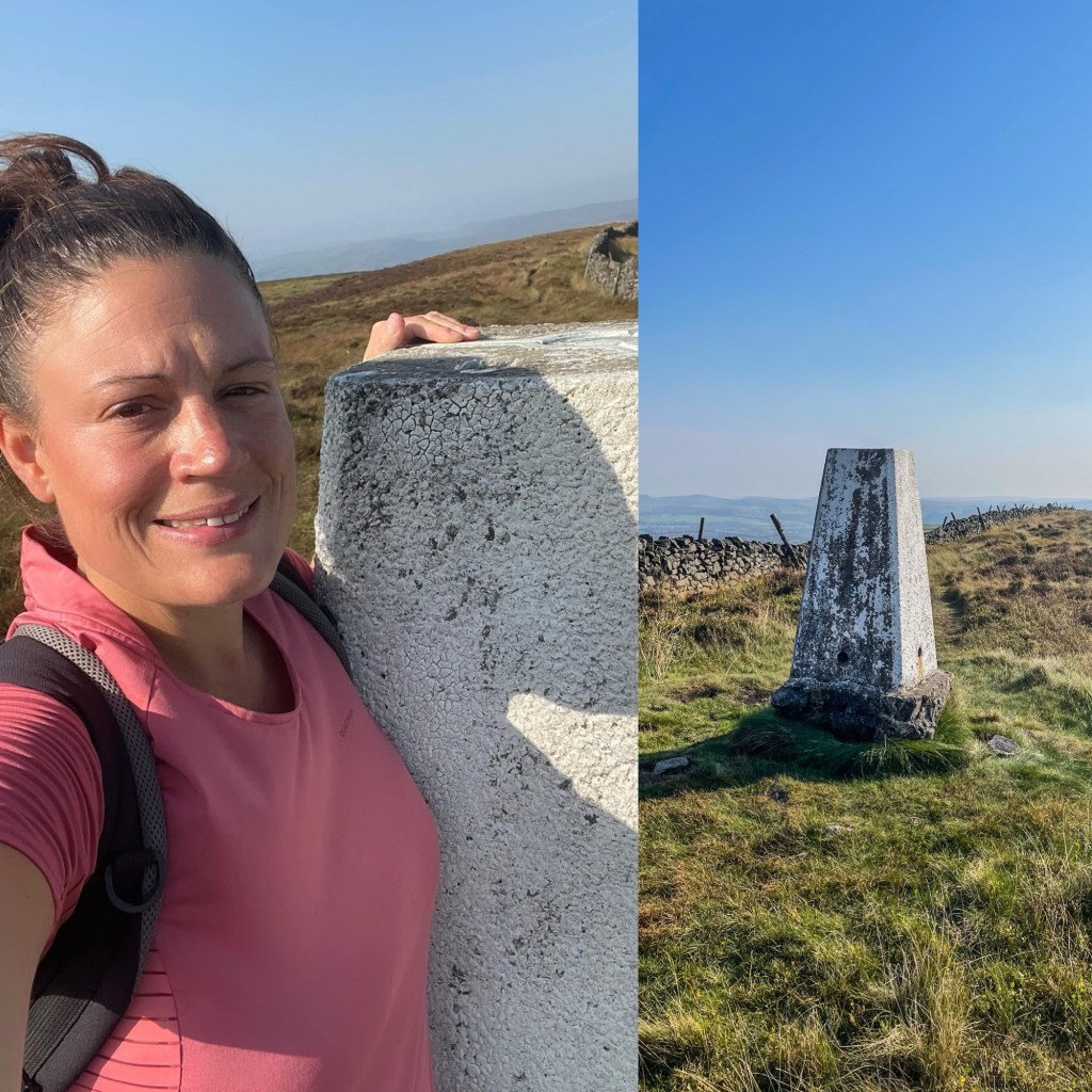
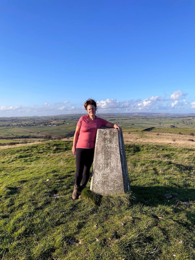
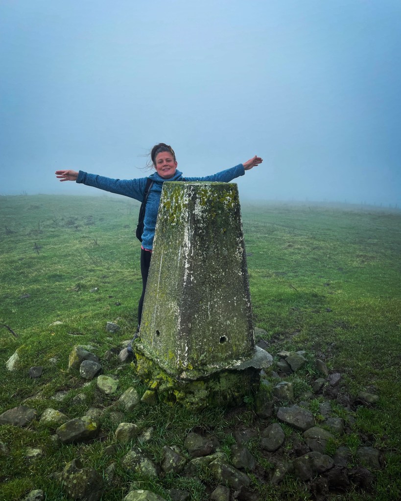
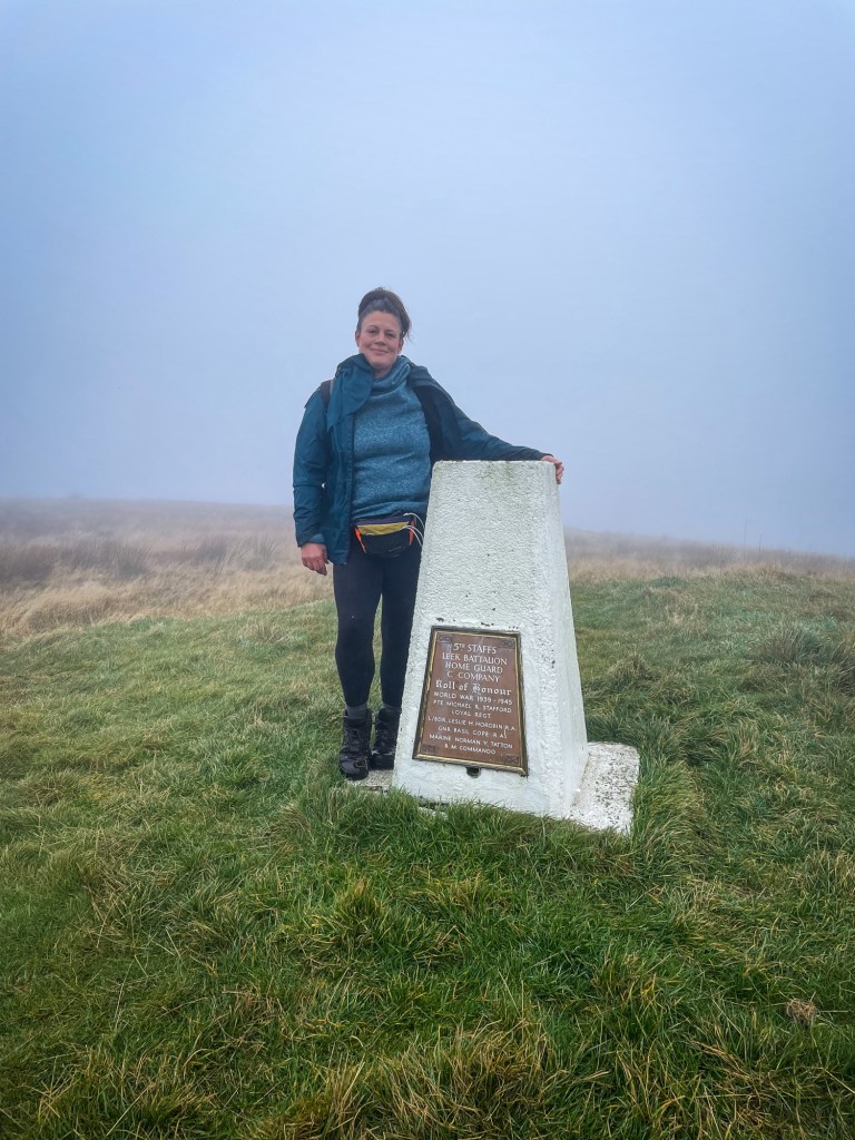
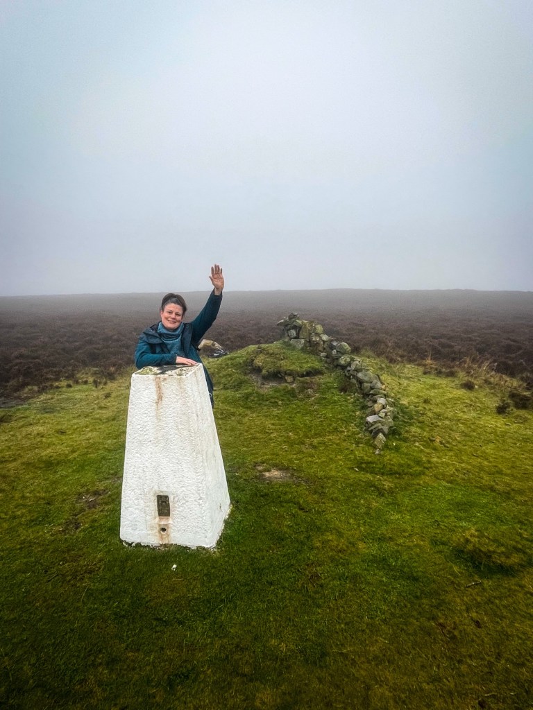
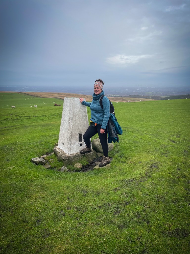
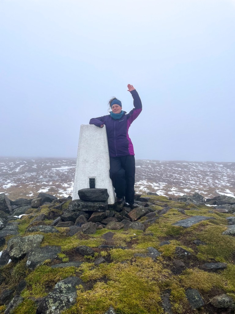
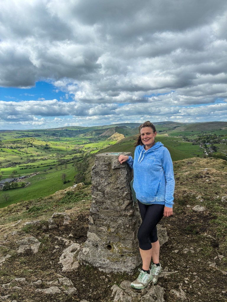
A quest to bag every single Trig Point within the Peak District National Park.


There are a total of 88 trig points in the Peak District and after stumbling upon many whilst out on my walks, I decided to set myself a challenge to find and bag EVERY single one.

There’s nothing more rewarding than reaching that sought after high place and hugging that trig. However it is not going to be easy at times as I’ve noticed that some are hard to spot and some are even on private land. However, I have heard that if I ask permission nicely, I may gain access. It’s going to be a challenge and I’m not guaranteed to always succeed, but I’m going to give it my best shot. All we can ever do is try…

Many other walkers have already completed this challenge and there are already some designated, published routes that help people to locate and find the trigs. Although I will be using some of these routes, I have already found some of them by accident and so have my own derived routes of how to get there.

As my journey continues, I will include links to other sites in this page showing published walk routes as well as the routes I created myself, in case anyone wishes to attempt the trig bagging challenge themselves. Good luck to all in your journey…


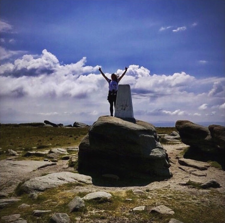
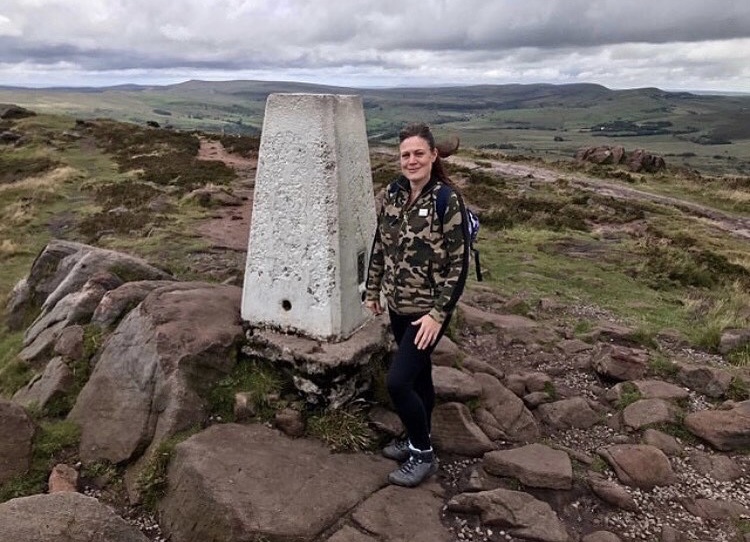
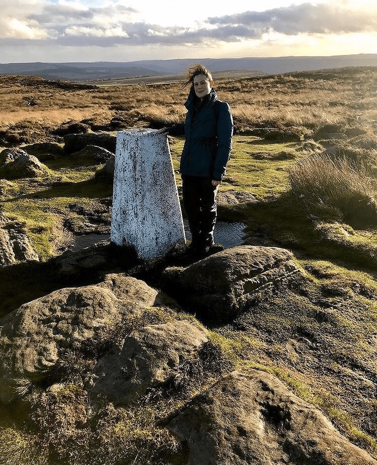
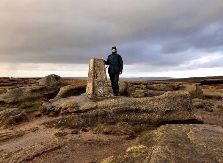
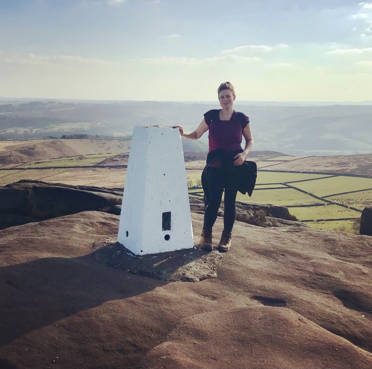
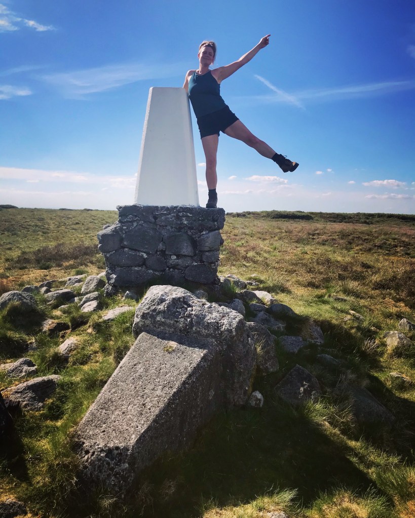
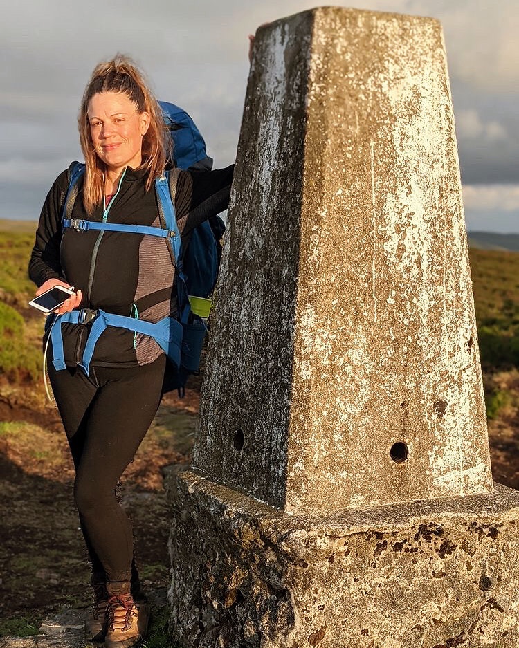
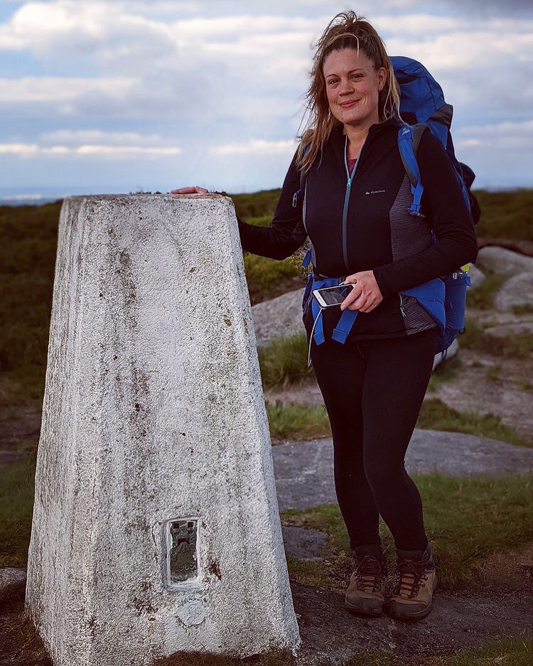
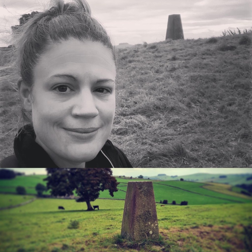
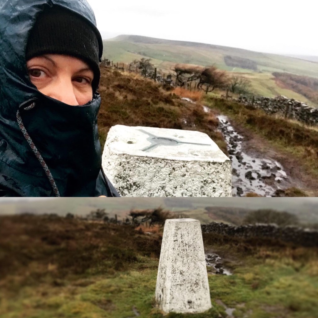
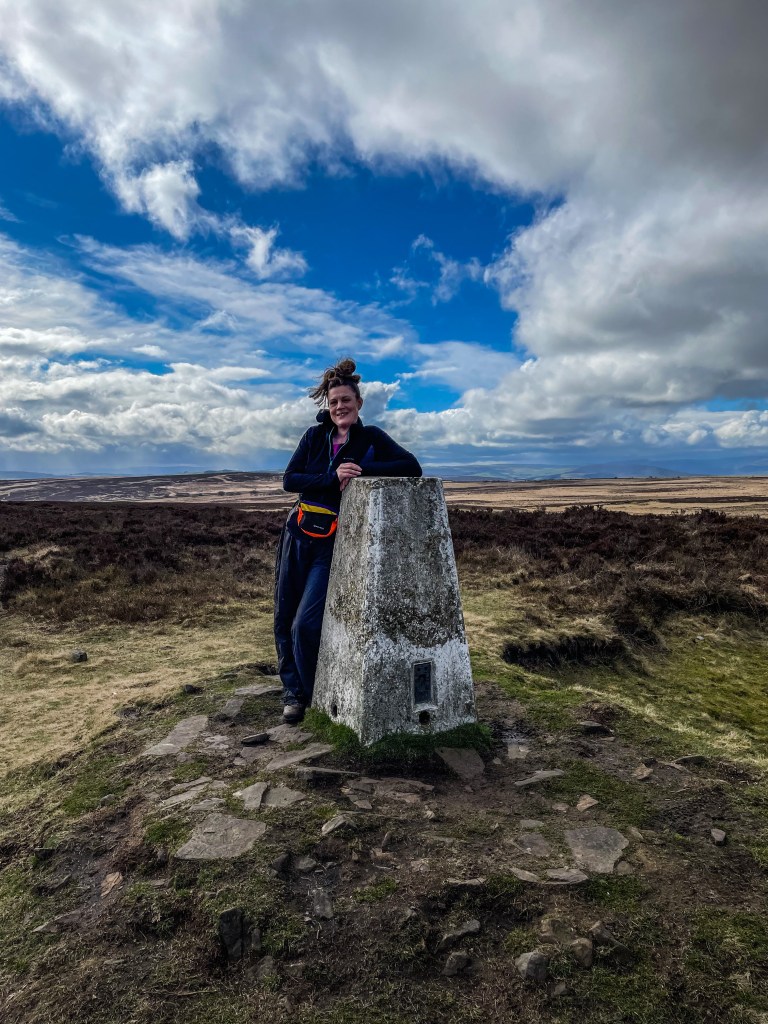
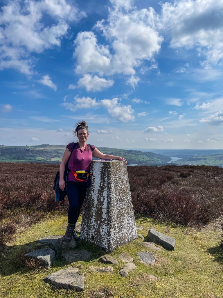
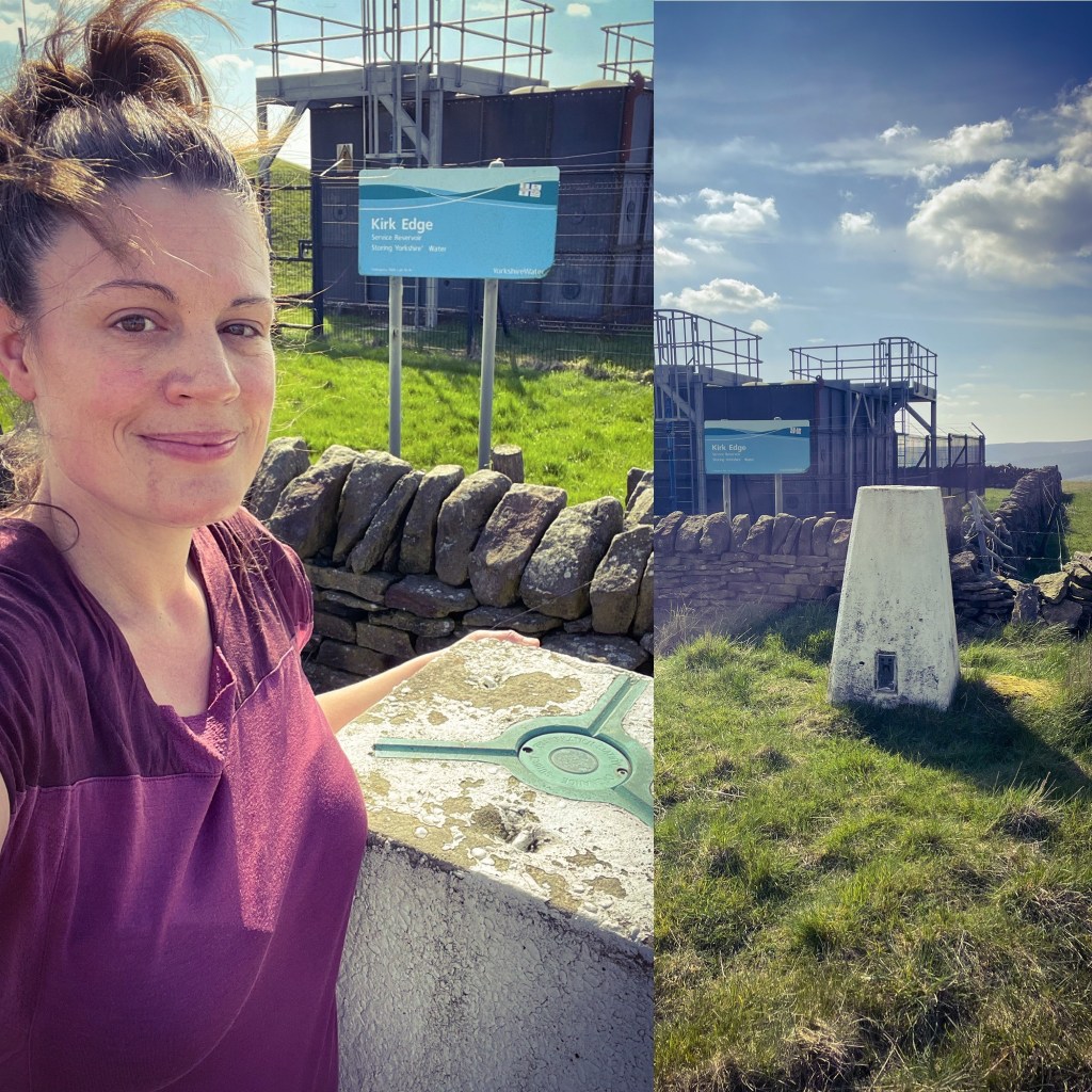
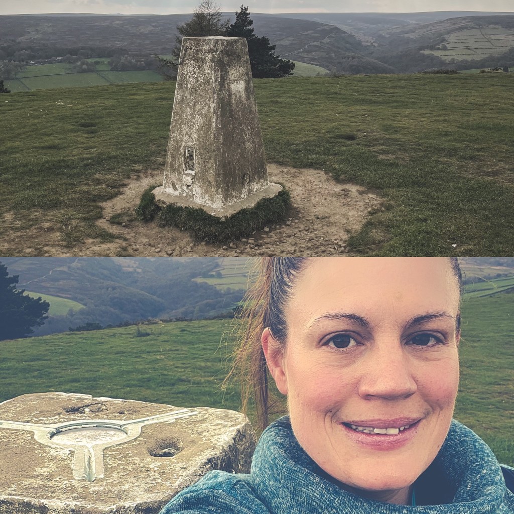
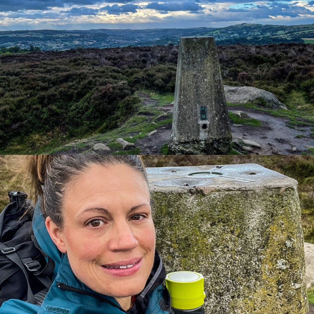
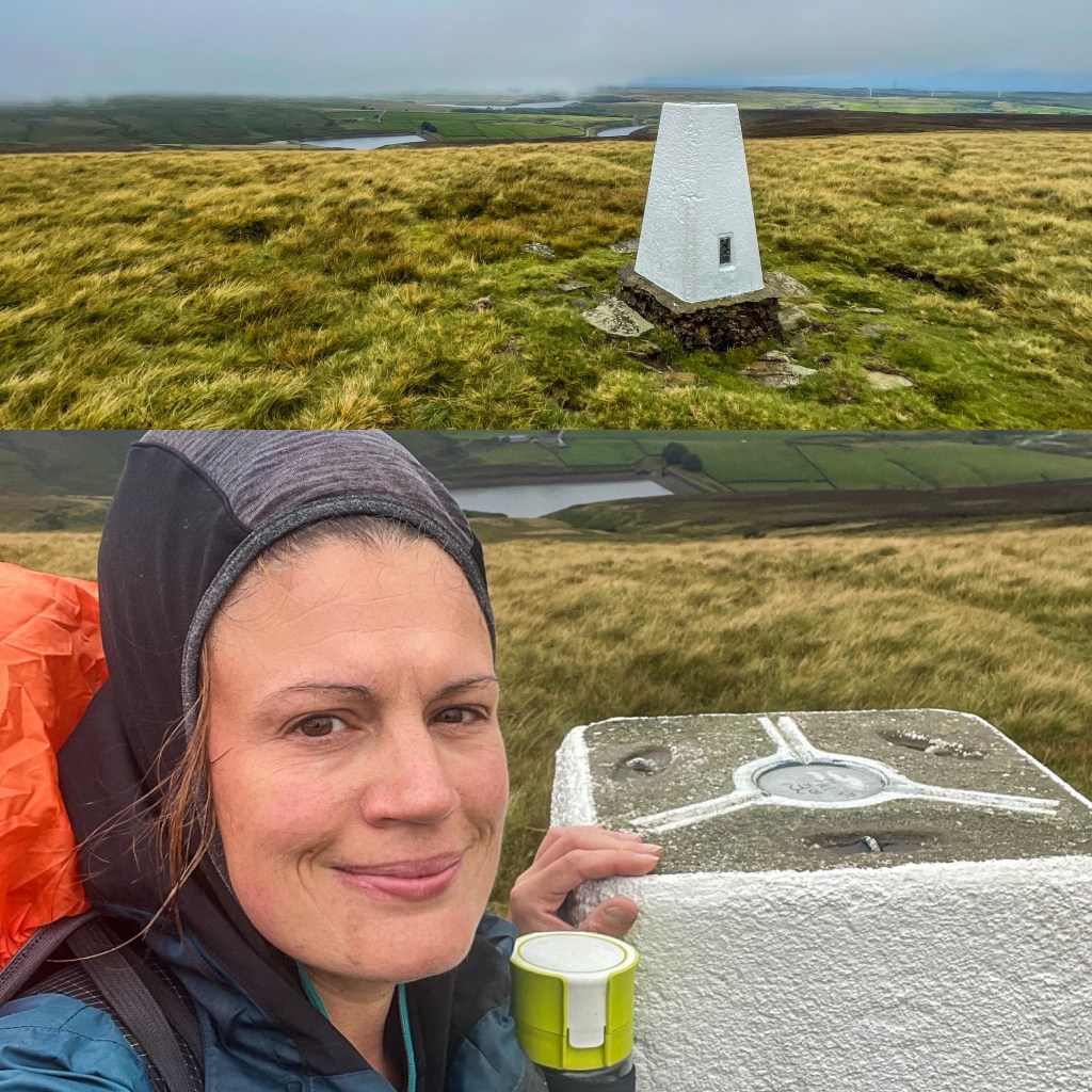
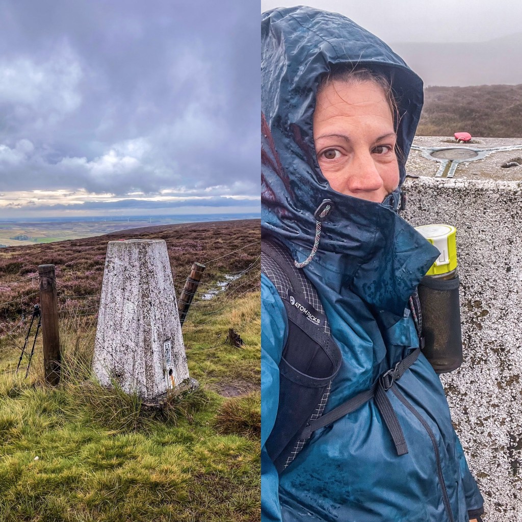
My Trigs in order of discovery

Kinder Low
The Roaches – Click the image to be directed to the walk (trig 77 of the Peak District Trig Point Challenge)
White Edge – Click image to be directed to the walk (trig 83 of the Peak District Trig Point Challenge)
Higher Shelf Stones
Sir William Hill
Mam Tor – Click the image to be directed to the trig walk (trig 50 of the Peak District Trig Point Challenge.
Back Tor
Rod Moor
Ox Stones
Stanage Edge
The Edge, Kinder Scout Northern Side.
Outer Edge
Margery Hill
Alphin Pike
Brown knoll
Winn Hill
Musden Low
Wetton Low (P) Taken from a distance with camera on zoom as trig is located on private land.
Burbage Edge
Shining Tor
Abney Moor aka Durham Edge (P) Click the image to be directed to the walk (trig 1 of the Peak District Trig Point Challenge). Located on private land on the edge of a gliding club air field. Permission sought from 2 workmen on the site. Apparently everyone bags it this way anyway so I figured their permission would suffice 😂
High Neb
Black Hill (Holme Moss)
Birchen Edge
Bradwell Moor
Harland South
Edale Moor
Chinley Churn (P) – Taken from a distance as located on private land. The trig cannot be reached safely as is boxed in by super high dry stone walls and barb wire fences.
Harry Hut
Lantern Pike
Blacka Plantation (P) – trig is located on private land however is right at the side of a public footpath.
Flask Edge
Emlin Ridge
Kirk Edge (P) – Trig is located on private land at a water works site but is literally just on the opposite side of the wall to open access land.
Whitwell Moor
Oaker Hill
Moor Plantation (Stanton Moor)
South Nab
Dead Edge End
Snailsden
Gun
West Nab
Saddleworth (Broadstone Hill)
High Rake (P) – trig is located on private land just to the side of a public road and quarry. A farmer in his tractor was chasing a bull out of a field saw me wave and signal to the trig and waved me on. Quick bag and it was done.
Carlton Pastures
Noton Barn (P) Private land trig but located very close to a public footpath. A very easy bag through an open gate leading from the path.
Bolehill (P) Located on private land and no longer in its original place on Bole Hill. The trig toppled so was moved into the next field. Currently laid on its side and was a sod to find.
High Low (P) Located on private land in fields near Sheldon. Can be clearly spotted from the quarry and only a short walk to the brow of the hill.
Cock Hill
Wheston (P) Located on private land. Was difficult to find and isn’t easily spotted as is high up and hidden over a wall. Couldn’t actually touch it but got close enough.
Wormhill (P) Located on private land but accessible through a gate from the roadside and a short climb to the summit.
Sough Top (P) Located on private land and couldn’t be reached due to a farmer working in the field spraying his land in manure. The trig can clearly be seen from a public footpath running alongside the field.
Black Edge
Wardlow

Hill House
Blake Mere aka Merryton Low
Revidge
Sponds Hill (P) – located on private land but is very close to a public footpath and just behind a farm gate.
Axe Edge
High Wheeldon

MAKING AN APPEARANCE NOW!

Specific walking routes dedicated to bag your chosen Trigs.

Stunning views and scenery.

Getting the miles in!

Sharing with walkers the routes I used to achieve this challenge.